for Numerical Ocean Wave Prediction
and Global Numerical Ocean Prediction
Indian National Centre for Ocean Information Services (INCOIS)
The Indian Ocean is a vast stretch of seawater and a source of sustenance and livelihood for millions of people in the countries that border it. The marine resources of the Indian Ocean and the concept of the blue economy play a significant role in supporting the socioeconomic development and well-being of the populations living in this region.
Indian National Centre for Ocean Information Services (INCOIS) is an autonomous organization under the Ministry of Earth Sciences, Government of India. It was established in 1999 and has provided various ocean-related services since then. INCOIS started its wave forecast services from (25-05-2006) and augmented it with essential ocean variables from ocean general circulation models from (03-03-2015). INCOIS generates early warning advisories based on the state of the seas surrounding the Indian subcontinent and serves several island countries. These services are critical for the operational activities of offshore sea goers and onshore activities such as coastal tourism, ports and harbors etc.
INCOIS operationally runs a suite of wave and ocean general circulation models at different resolutions to provide early warning services to maritime stakeholders. Users of forecasts are equipped to take informed decisions based on the sea state conditions, avoiding loss of life and property. Thus, INCOIS services extensively contribute to the development of the blue economy in the region through its forecasts and advisory services. Forecasts of essential ocean variables at different time scales are thus crucial for a broad spectrum of users ranging from fishermen to offshore industries. Recognizing the role played by INCOIS in issuing forecasts for the region, the WMO Executive Council at its seventy-sixth session (EC-76) adopted the designation of RSMC Indian National Centre for Ocean Information Services (INCOIS) (India) for numerical ocean wave prediction and global numerical ocean prediction.
Waves

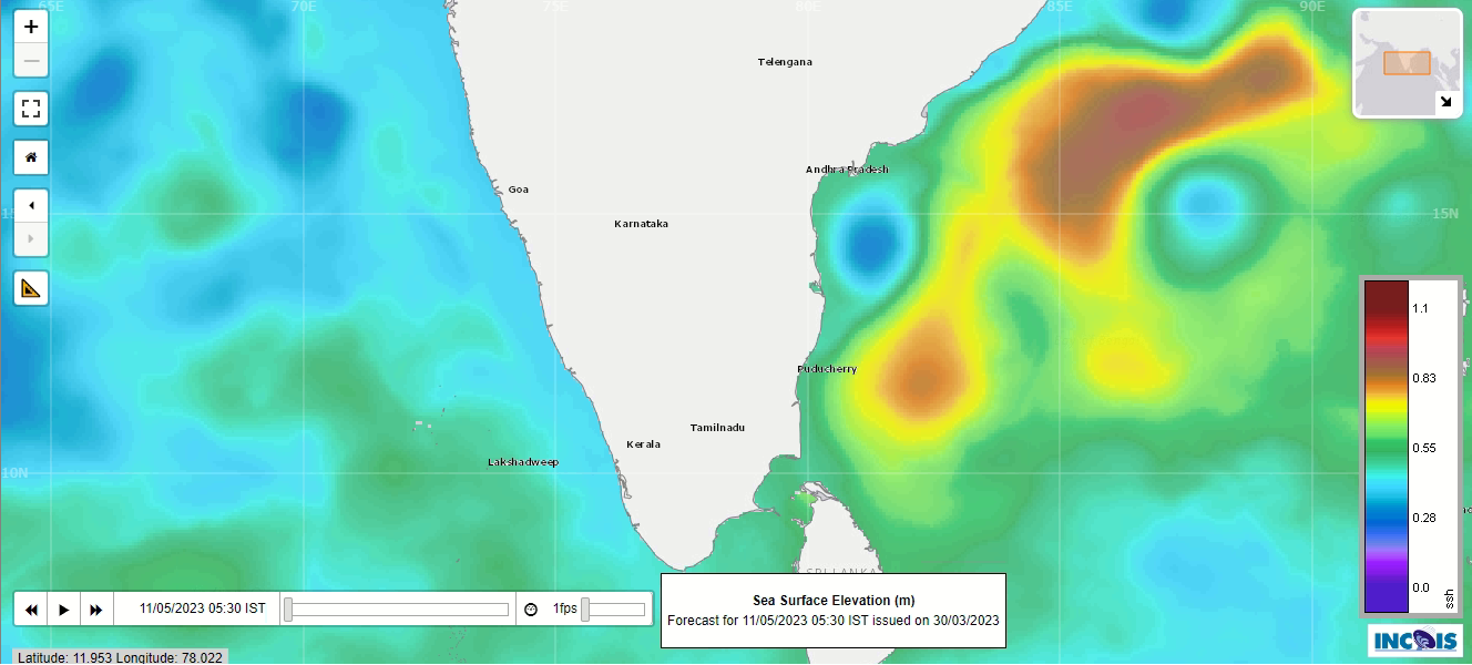
View Data Download
| Model Name | Domain | Resolution | Forcing | Mixing | DA |
|---|---|---|---|---|---|
| WAVEWATCH-III | Four nested grids covering Global Ocean | Global Ocean (1 x1 deg), Indian Ocean (0.5 x0.5 deg), Northern Indian Ocean (0.25 x0.25 deg) and coastal (10 Km x10 Km) | ECMWF forecast winds (0.25x0.25deg) | NA | Optimal Interpolation method; Assimilates Sig. Wave Height (SWH) from SARAL/AltiKa, Jason-3, Sentinel-3a and Sentinel-3b and all available in-situ SWH observations in the Indian Ocean |
Ocean Prediction
View Data Download
| Model Name | Domain | Resolution | Forcing | Mixing | DA |
|---|---|---|---|---|---|
| HYbrid Coordinate Ocean Model (HYCOM) version-2.35 | 20E-120E & 43S-30N | 6.9 km (1/16) degree nested to a 25 km (1/4) Global Hycom | Atmospheric forcing: GFS Rivers: NRL climatology | KPP mixing | Method: Tendral Statistical Interpolation (Reduced Order Kalman Filter) Variables: AVHRR-SST, + L2 & L3 Along Track altimeter data. Argo profiles of Temperature & Salinity |
Copyright © ESSO- Indian National Centre for Ocean Information Services (INCOIS), Govt of India. All Rights Reserved.